Anatomy of recent earthquakes in Nepal
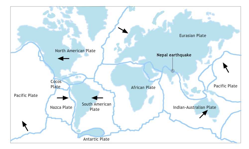
After two earthquakes struck Nepal in less than three weeks, killing thousands, injuring tens of thousands and leaving millions homeless, the Himalayan Nation is left terrorized. The earthquake is believed to be caused by a sudden thrust, along the fault line where Indian Plate is diving underneath the Eurasian plate.

Tectonic Plates
Approximately 300 million years ago, a supercontinent called Pangaea started rifting towards west and began breaking apart. It gave rise to two big supercontinents Laurasia and Gondwana. Gondwana later broke off into five major landmasses Atlantica, India, Australia, Antarctica, Zealandia while Laurasia broke off into North America and Eurasia (excluding India).
A minor continent of Gondwana called Cimmeria collided with Eurasia which caused India and Australia to move northward. The north moving Indo-Australian plate (which broke into India and Australian plate later) was moving at about 15cm per year when it collided with Eurasian plate about 70 million years ago. This collision folded into mountain ranges because of low density continental crust giving rise to the modern Himalayas. Still today, Indian plate continues to collide with Eurasia plate making Himalayas geologically active. This movement of Indian plate into Eurasia plate leads to earthquakes from time to time.

The indian plate is converging with Eurasia plate at a rate of 2 inches per year towards north.
Nepal
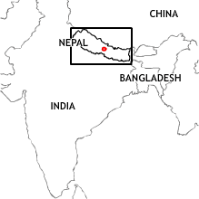
Nepal lies in the middle of a massive tectonic collision zone of Indian and Eurasia plate. Nepal and much of the Himalayas is essentially a giant fault zone. The mountains occur because they are rock thrust upward by the actions of the tectonic plates underneath.
Kathmandu
There are enough evidence to prove that the Kathmandu Valley was once a lake. When the last Ice Age cooled and dried the Himalaya about 35 thousand years, the lake started to shrink. As the lake drained, a basin filled with about 2000 feet of flat sediments emerged.
With fewer layers of rocks and unsettled clay soil, Kathmandu valley has the world’s worst quake risk. As shown by earthquakes in 1934, 1988 and 2015, the earthquake’s effects are amplified in Kathmandu.
Earthquake
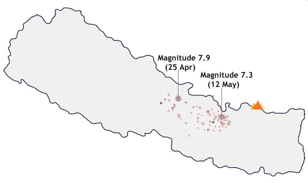
On 25th April 2015 at 11:56am (Nepali time), a 7.8 magnitude earthquake struck an area between Kathmandu and Pokhara levelling centuries old temples, collapseing houses and triggering avalanches on Mount Everest. A series of aftershocks joined the region further flattening the regions and causing more damages. Another major 7.4 magnitude earthquake followed on May 12, 2015.
